PG Plaza, A Mall from the Space Age
d.w.rowlands [at] gmail.com
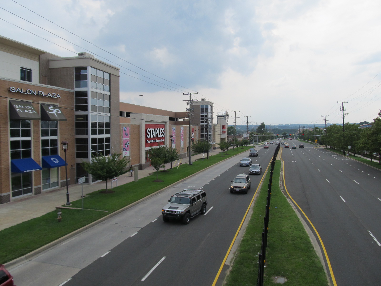
The History of PG Plaza
The Metro station one station inbound from me, PG Plaza, is the only one of the four stations in Prince George's County on the northern end of the Green Line to have significant dense development around it, and is probably the most densely developed of all the Metro stations on the four lines that run into Prince George's County. Interestingly, much of the development around the station actually predates its 1993 opening by several decades.
While Prince George's County was historically largely rural, a few areas near Washington, DC developed as streetcar suburbs in the early Twentieth Century. One of the major ones of these was the US 1 corridor that runs north through the northwestern part of the county to the University of Maryland's main campus at College Park and along the B&O rail line from Washington to Baltimore.
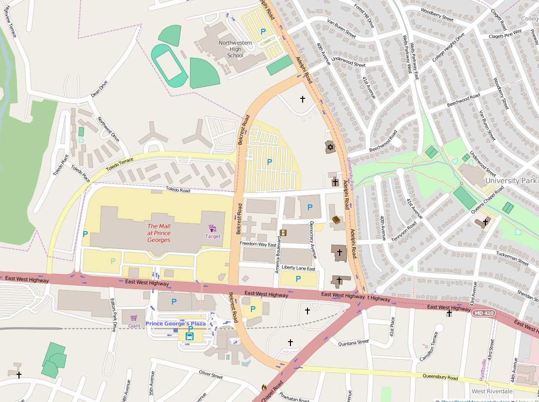
Given the increasing suburban population in the area, it is unsurprising that the first regional shopping center in Prince George's County was built in 1959 just west of US 1 along the newly constructed alignment of East-West Highway, a major commuter route connecting the area to the inner-ring suburbs of DC to the west in Montgomery County. (Until 1956, East-West Highway in Prince George's County ran further south, along Ager Road and Hamilton Street to US 1; the current alignment was opened in 1956 through what had been a large parcel of farmland.
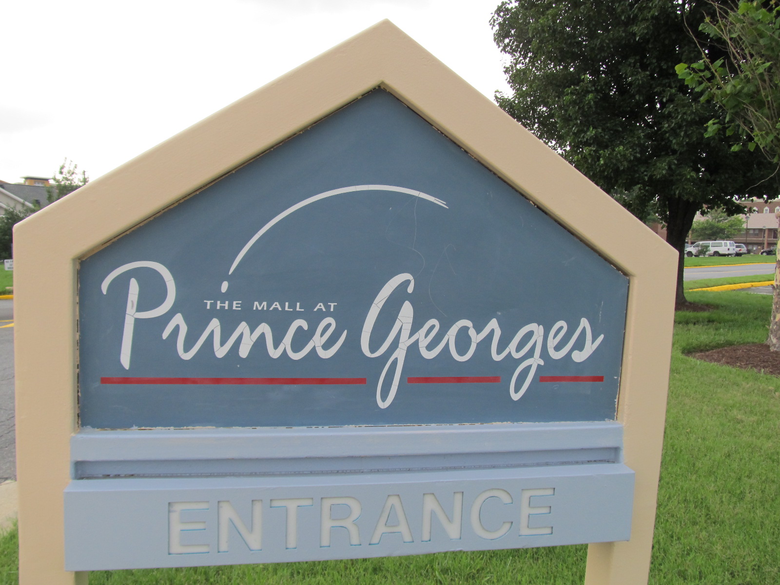
This shopping center, now called "The Mall at Prince Georges"---yes, they forgot an apostrophe---was originally named "Prince George's Plaza" and kept that name until 2004, giving its name to the Metro station, and in common use to the whole area. It was originally built as an open-air shopping center and was enclosed as a one-story mall in the 1970s.
Meanwhile, in the early 1960's, plans for the Northeast Freeway, which was to carry I-95 from the Beltway in College Park into DC showed it running along the Northwest Branch park, just to the west of PG Plaza. This encouraged developers to consider larger plans for the site, which still had a good deal of undeveloped former-farmland.
The new development, which surrounded the PG Plaza mall to the south and east, was intended as a new sort of suburban "town center" meant to counter what the developers thought were the problems with contemporary suburban sprawl. It was intended as a mixed-use development with ground-level retail, medium-rise office buildings, and high-rise residential buildings, similar to Century City in Los Angeles, which was developed at the same time. In keeping with the urban planning ideas of the Sixties, pedestrians and cars were to be completely separated: cars would be funneled into underground parking while the walkways between the buildings would be pedestrian-only with no vehicular traffic. This plan was encouraged by the contemporaneous planning of the Green Line; the developers were able to secure plans for a station at PG Plaza well before the route north of there was settled.
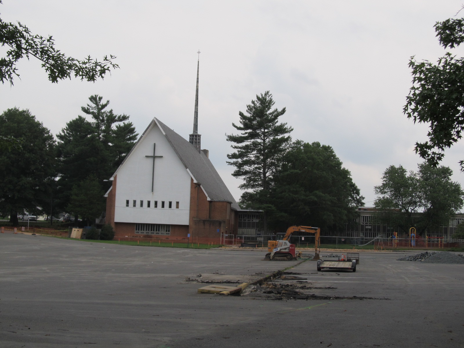
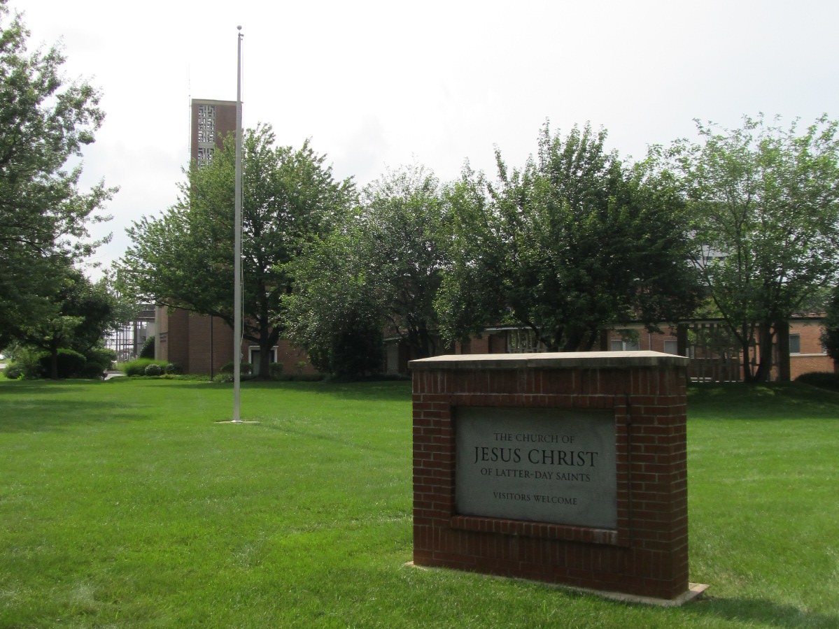
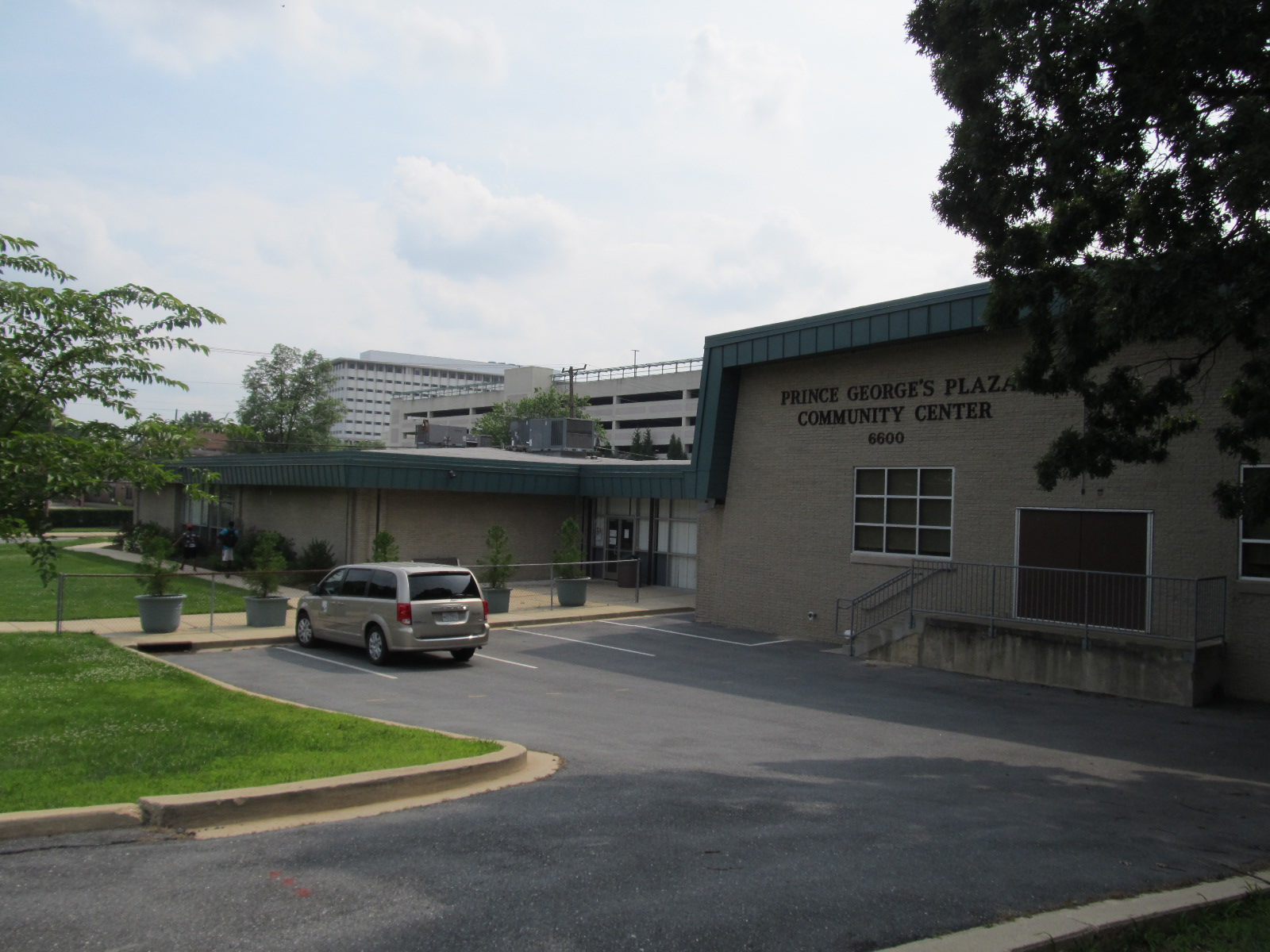
In an additional nod to Sixties-era urban planning dogma---and to the wishes of the established communities of University Park and Hyattsville on the east sides of Adelphi Road and Queen's Chapel Road---the developers of what was to be called "New Town Center" (now named "University Town Center") contributed the land along the west sides of these roads for low-density, car-oriented religious buildings with significant surface parking to form a buffer between the new dense development and the single-family homes to the east. Along with a significant number of churches and a synagogue, this buffer includes a M-NCPPC community recreation center and the first branch of the Prince George's County Memorial Library System to be built for the county as a library. This library, which from its construction in 1963 until it was renamed the "Hyattsville Branch" in 1966, was called the "Prince George's County Regional Library". The county wanted to name it after the recently-assassinated President Kennedy, but when his family was uninterested, they instead simply posted a plaque dedicating it to him.
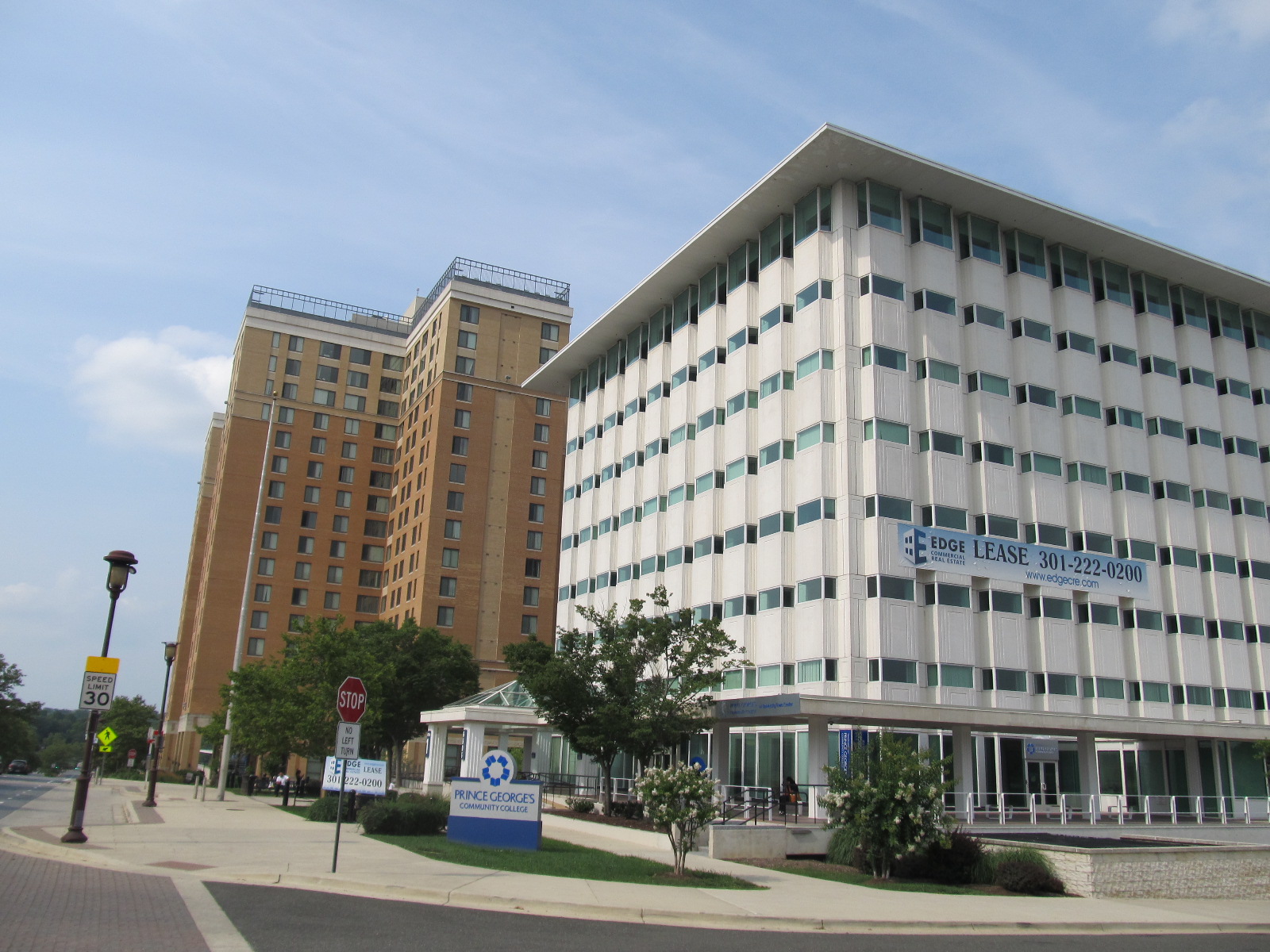
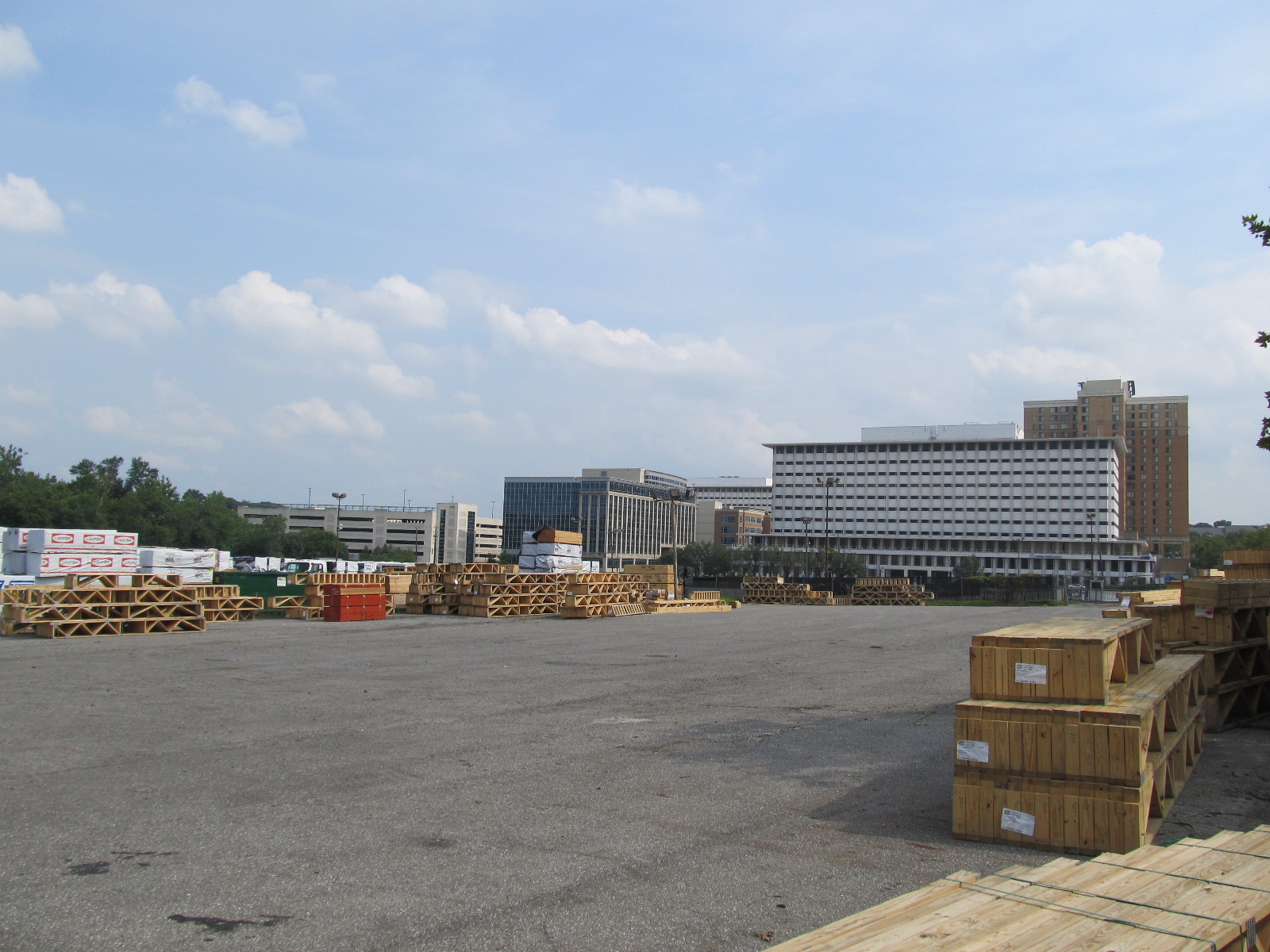
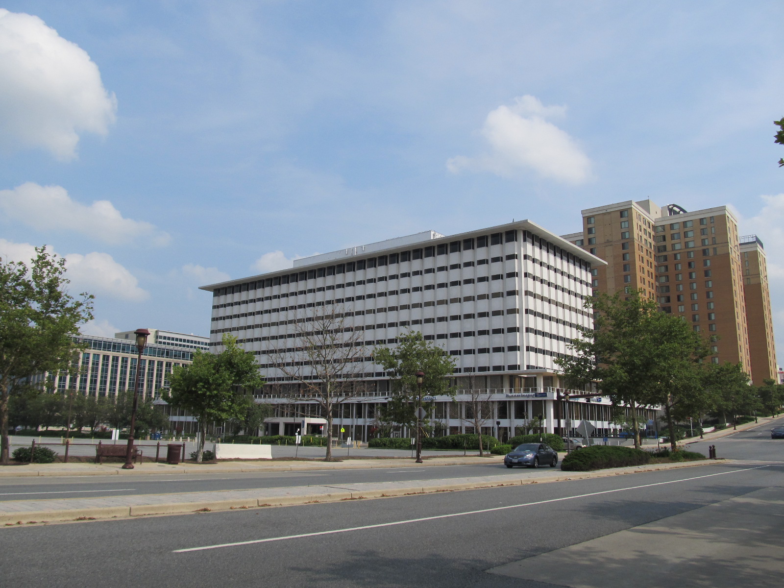
Despite the big plans, the cancellation of the Northeast Freeway in 1977 and delays to the construction of the Green Line---the portion including the PG Plaza station only opened as a spur in 1993 and through-running into downtown DC began in 1999---resulted in a significant curtailment of the development of New Town Center. While the buffer area was built out, on the main site only three office buildings were built, surrounded by seas of surface parking. When I was growing up in the area, these office buildings were quite recognizable and seemed a bit out-of-place in the medium-density suburban environment, but I had no idea that a much larger development had ever been planned.
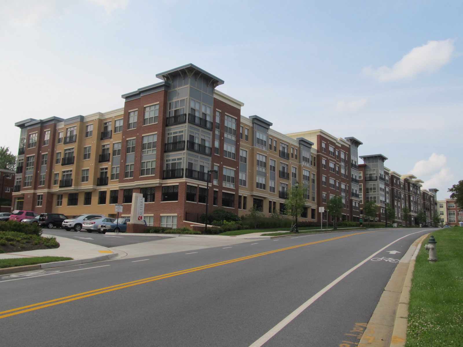
While I didn't know about it, it seems that the opening of the PG Plaza Green Line station in 1993 prompted the original developers to request zoning approval to build up a more complete transit-oriented development at the site. Rather than completing the originally-intended plan, they decided to build a more modern "town center" with privately owned streets for slow car traffic with sidewalks. Several new office buildings, dorm-like apartments targeted at college students, and high-end condominiums have been added to the site, as well as a lot of store-front retail, including an under-construction grocery store. (Another grocery store has also been relatively recently added on the south side of East-West Highway along with a mixed-use development directly adjacent to the Metro station called Belcrest Center.) The popularity of the area has led to the development of other high-end apartments on the far side of the Mall at Prince Georges, between it at the Northwest Branch park, in addition to the long-extant lower-end garden apartments north of the mall.
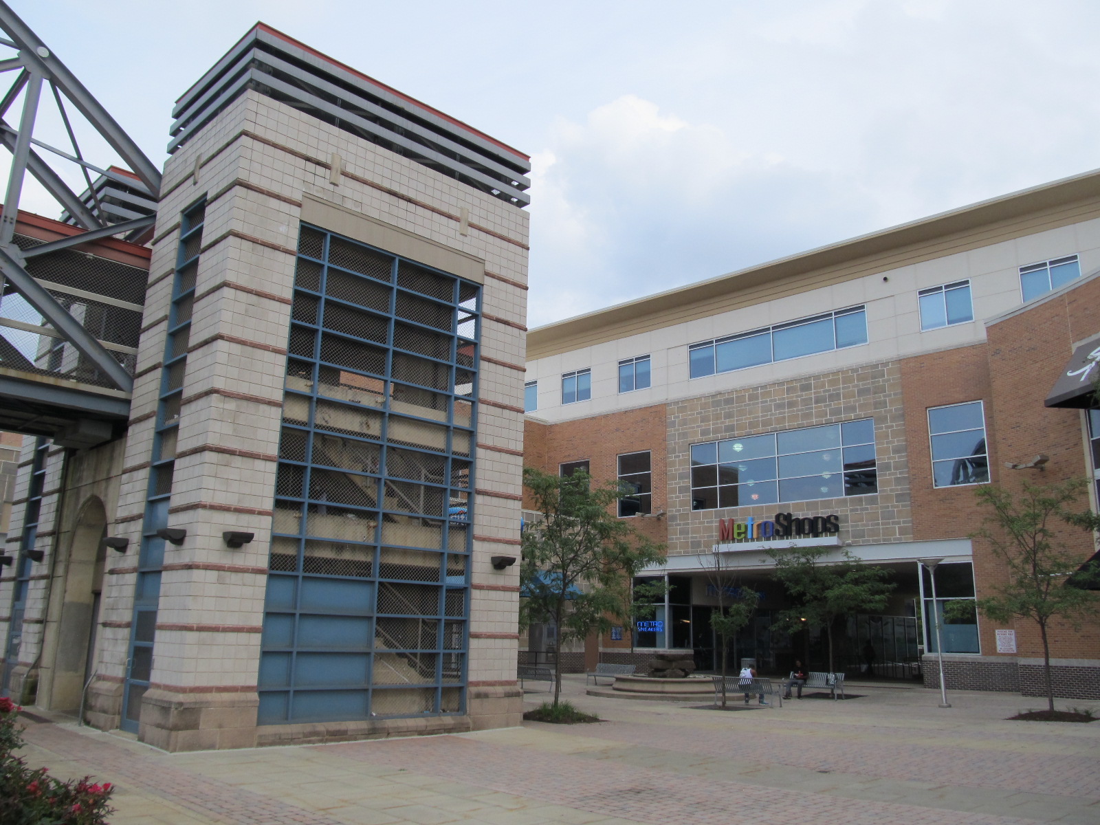
Photos: The Mall at Prince Georges
 |
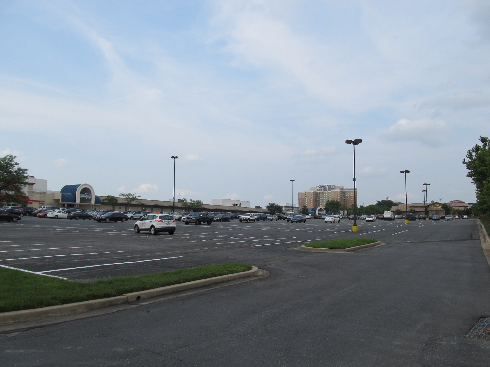 |
| An entrance to the parking lot at The Mall at Prince Georges. | The mall is still surrounded by huge seas of surface parking with no garages. |
 |
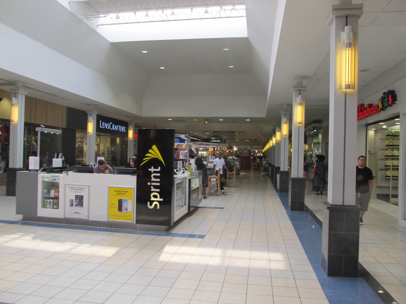 |
| Eight-foot-tall fences have been installed along the median of East-West Highway to encourage pedestrians coming from the Metro station on the south to use the foot bridge. Even if they do, though, they are still confronted by that sea of parking. | Inside, it’s a fairly conventional, if somewhat cramped-feeling, one-story mall. I am still sad that the interior re-design associated with the name change resulted in them removing the “race track” of patterned colorful tiles that used to run just outside the support columns, and that I liked to make a point of walking on when my family visited the mall. |
 |
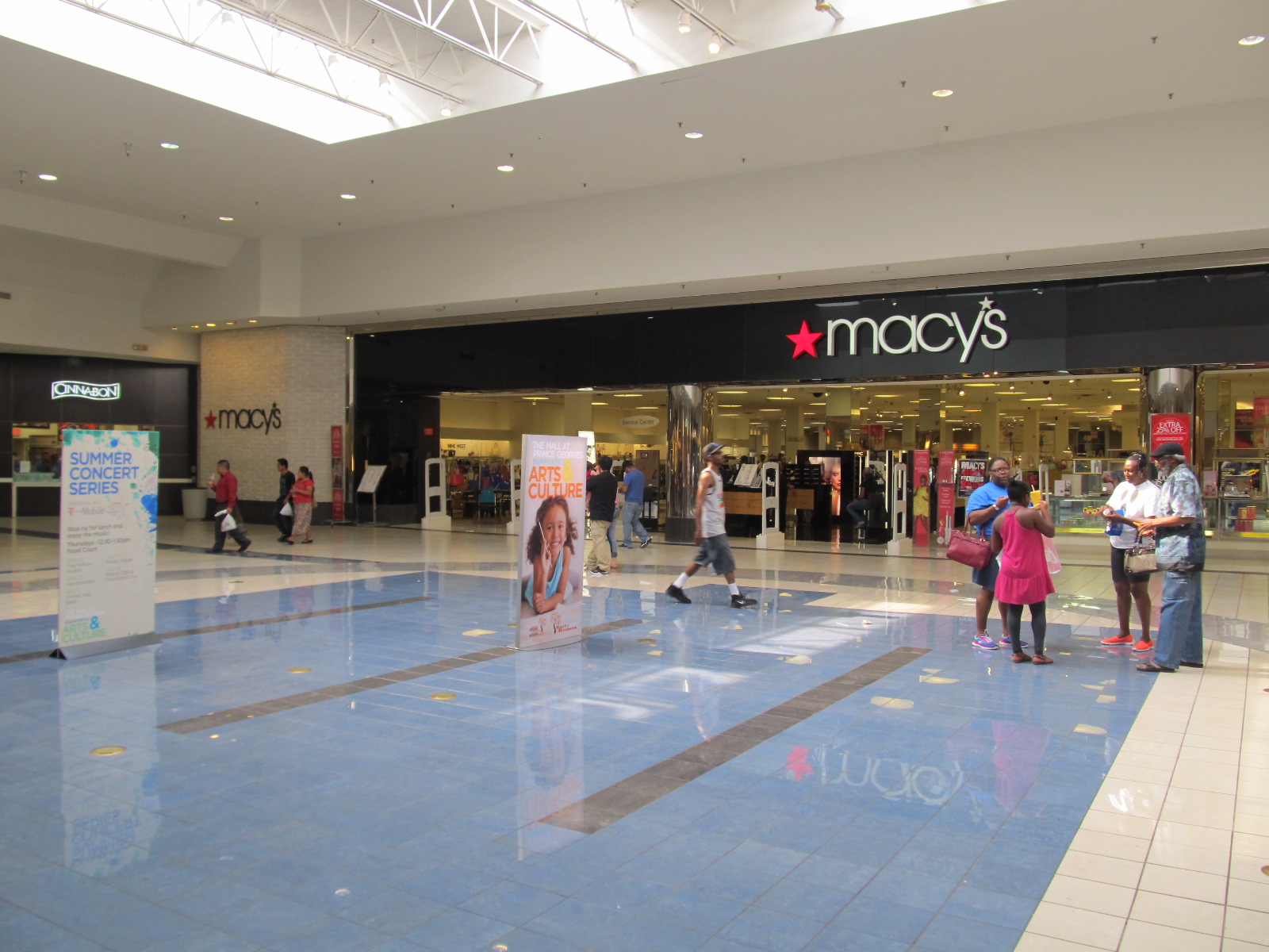 |
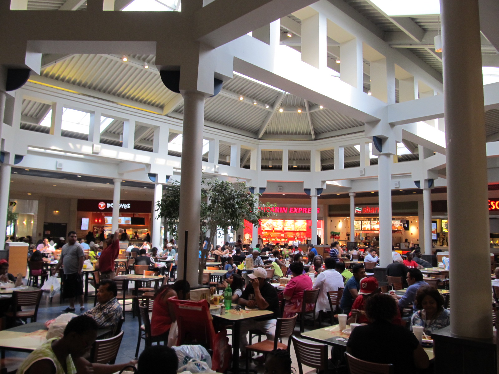
| The food court has been redone as well. | And I was surprised to see that the central landscaping/fountain in front of the center anchor store was removed. It was also very strange to see it as a Macy’s: the store had always been a Hecht’s until Macy’s bought out that brand a few years ago. |
 |
 |
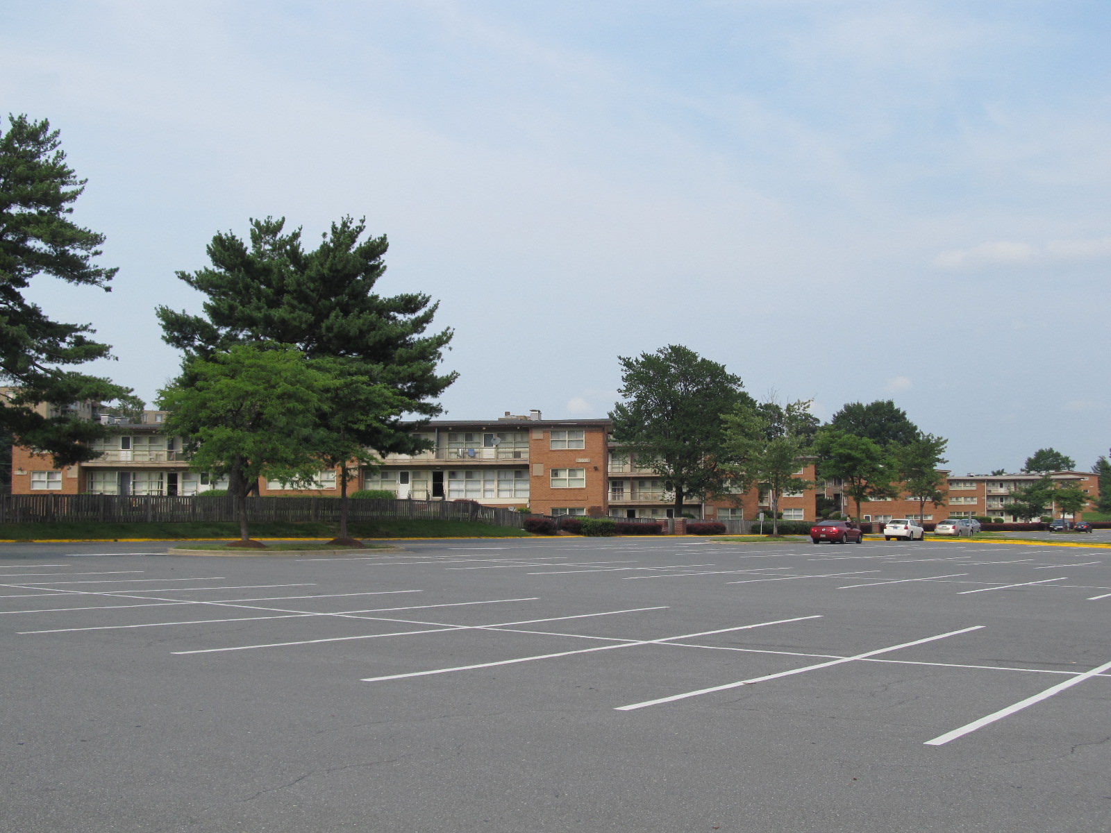
| There is a sea of parking in the rear as well, and behind it garden apartments of the sort that are common throughout PG County, and seem to be the main form of multi-family housing here. | Across the street on the west side of the mall, though, denser, higher-end apartments have recently been built. |
Photos: The Wall of Faith
 |
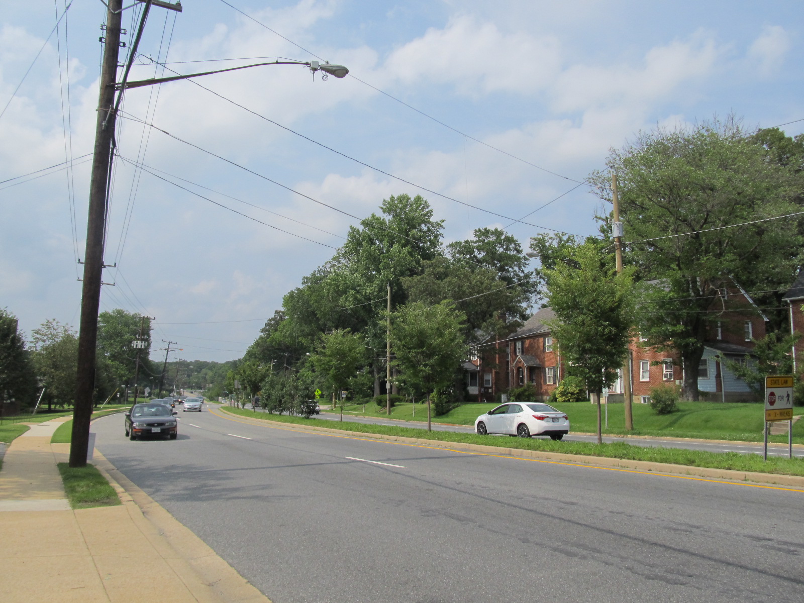 |
| First United Methodist Church, south of East-West Highway. | A view north along Adelphi Road showing the single-family homes of University Park, whose residents insisted on a buffer between them and University Town Center, and who largely opposed the construction of the Metro line. |
 |
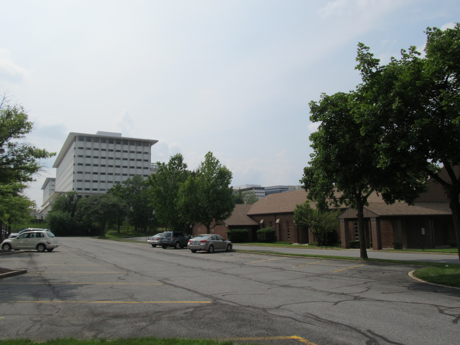 |
| A Mormon church on the northwest corner of East-West Highway and Adelphi Road. | The towers of University Town Center can be seen looking across the parking lot between the Mormon church and the Church of Christ church. |
 |
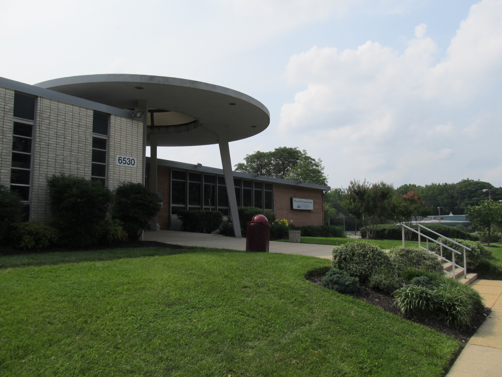 |
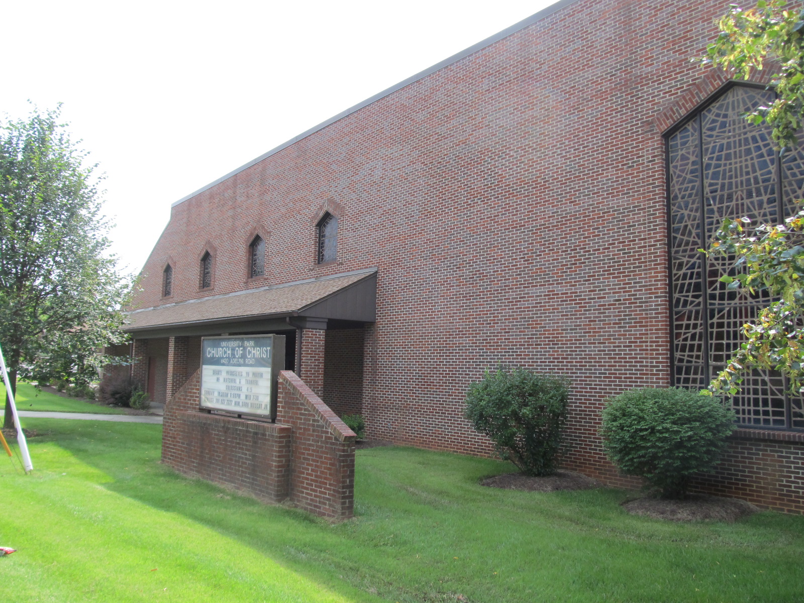
| The University Park Church of Christ, just north of the Mormon church on Adelphi Road. | The Hyattsville Branch library (originally PG County Regional Library) with its iconic “flying saucer”, which is to be preserved while the rest of the building is demolished and replaced next year. |
 |
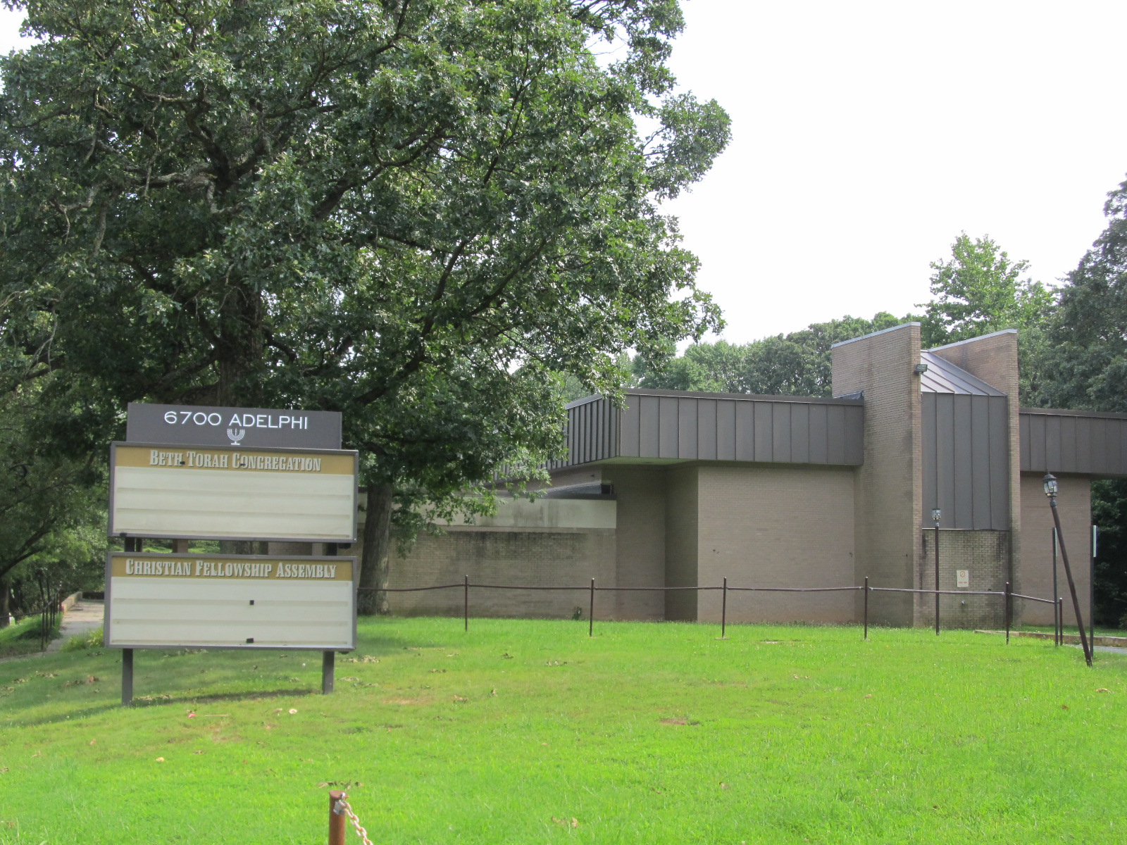 |
| The M-NCPPC Prince George’s Plaza Community Center, on Adelphi Road. | The Beth Torah Congregation and Christian Fellowship Assembly on Adelphi Road. |
 |
|
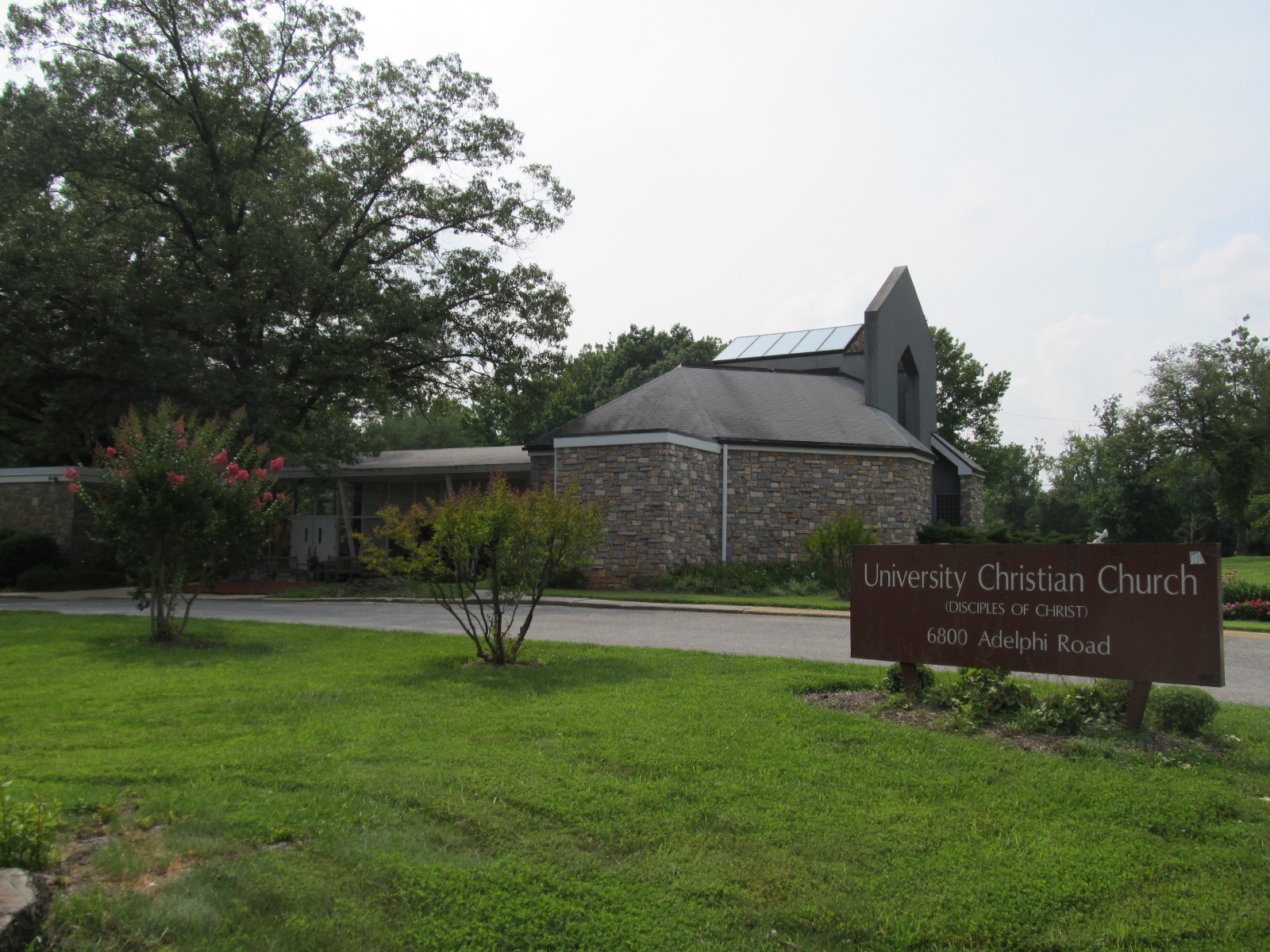
| The Disciples of Christ University Christian Church at the corner of Belcrest Road and Adelphi Road. |
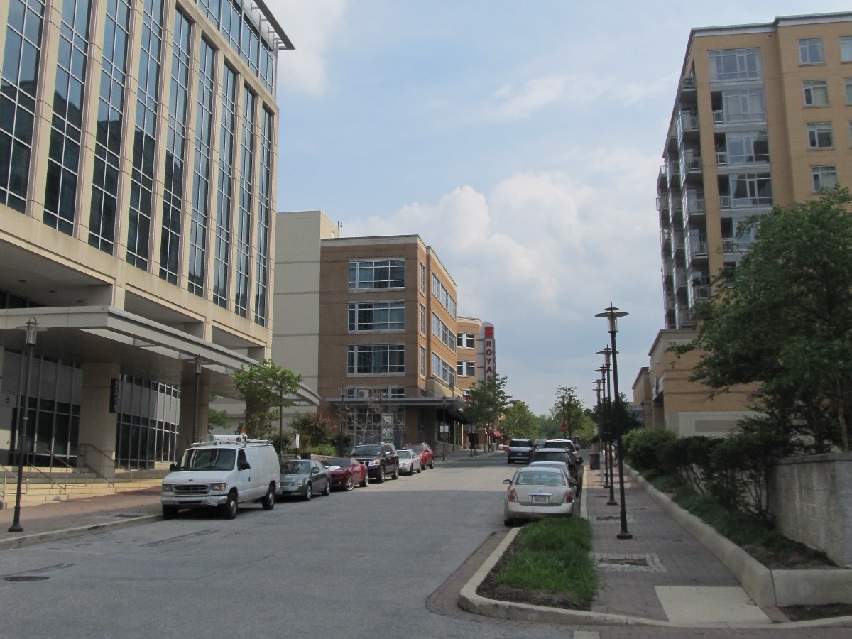
Photos: University Town Center
 |
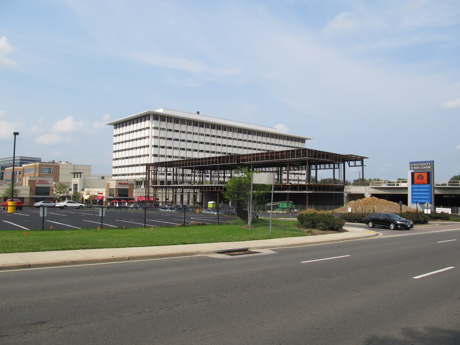 |
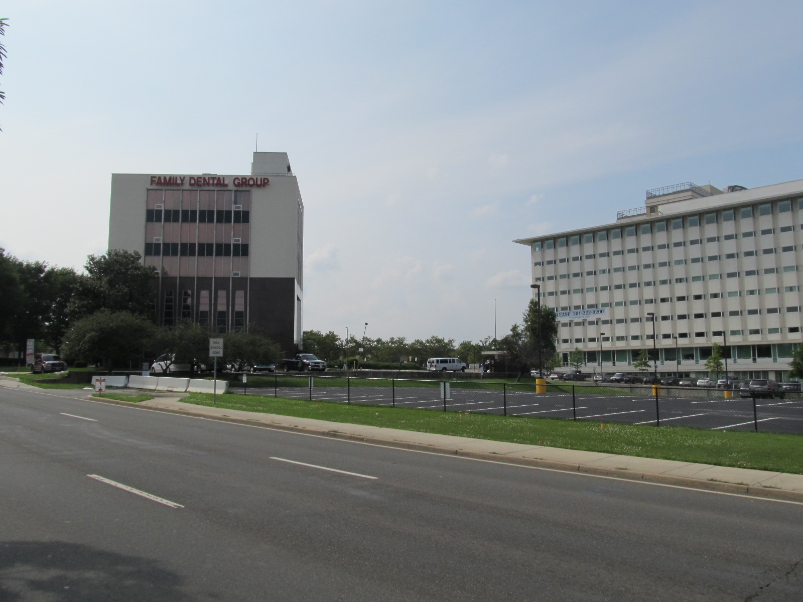
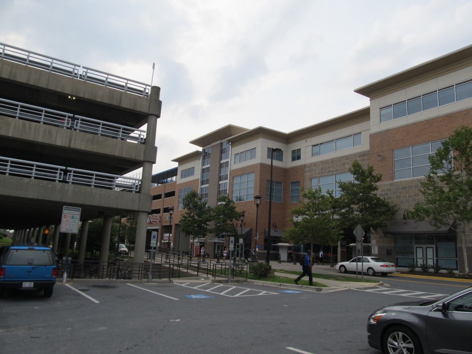
| The southwest side of University Town Center, looking north from the median of East-West Highway. The white office building to the right is one of the three 1960’s-era buildings from the first stage of construction. In front of it is one of the remaining surface parking lots awaiting redevelopment. To the left is a more recent office building, but one that is still older than me: my mom occasionally had to go to a bank there on behalf of the dance studio where she worked. | The southeast side of University Town Center, looking north from the median of East-West Highway. The building under construction will be a parking garage and Safeway grocery store. |
 |
 |
| The west side of University Town Center, looking north along Belcrest Road. | A view of University Town Center looking south from the northern end of Belcrest Road. The northern half of the site still consists of surface parking and construction staging. |
 |
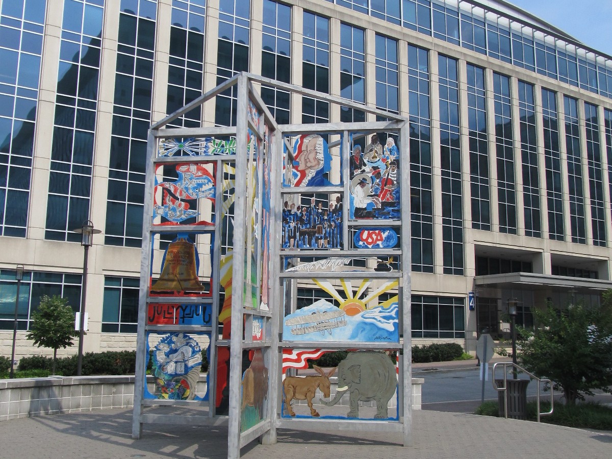 |
| University Town Center from Belcrest Road, at the northwest corner of the half of the site that is currently developed. | Patriotic public art in University Town Center. |
 |
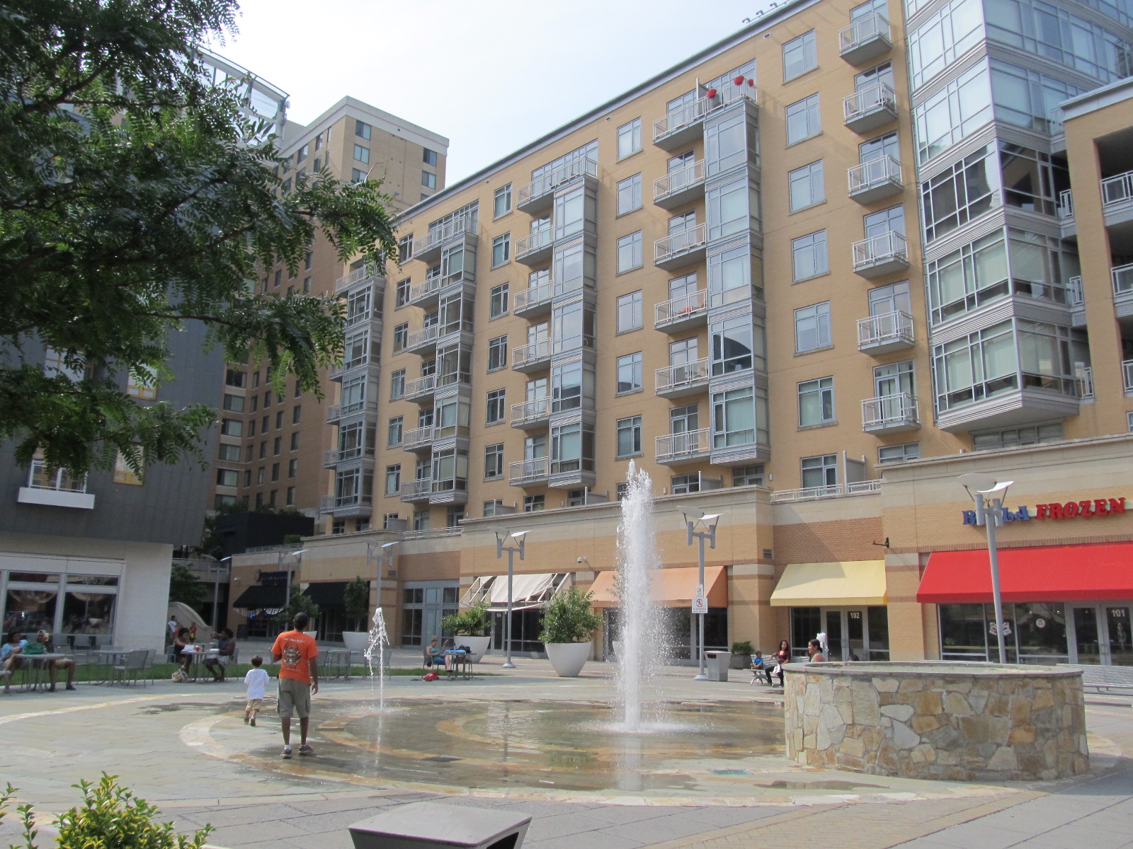 |
| The main street of University Town Center, looking south. | The central plaza, with a fountain. |
Photos: Belcrest Center
 |
 |
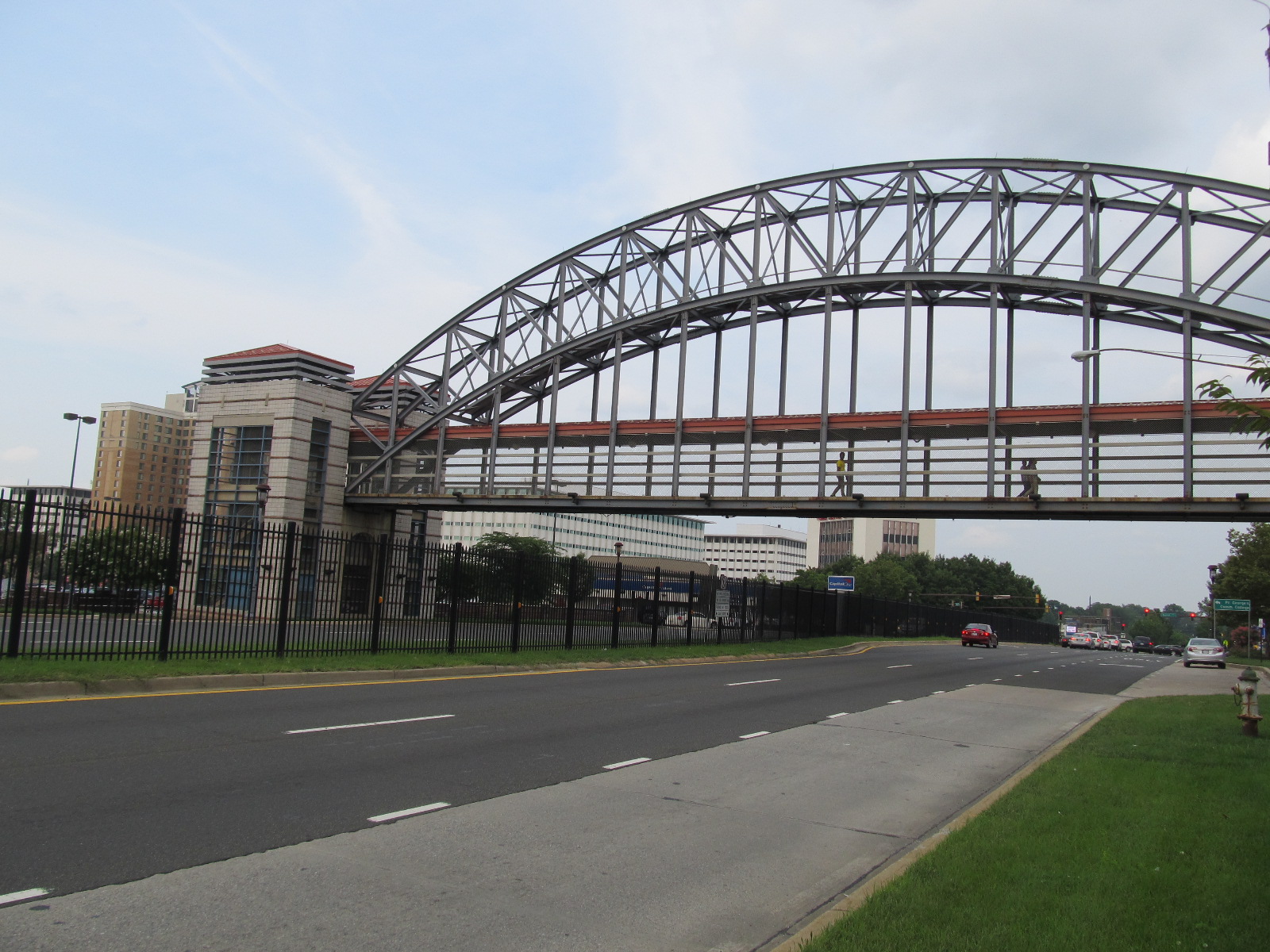
| The front of Belcrest Center, facing East-West Highway. Not a very pedestrian-friendly environment. | The Belcrest Center and Metro station end of the pedestrian bridge over East-West Highway. |
 |
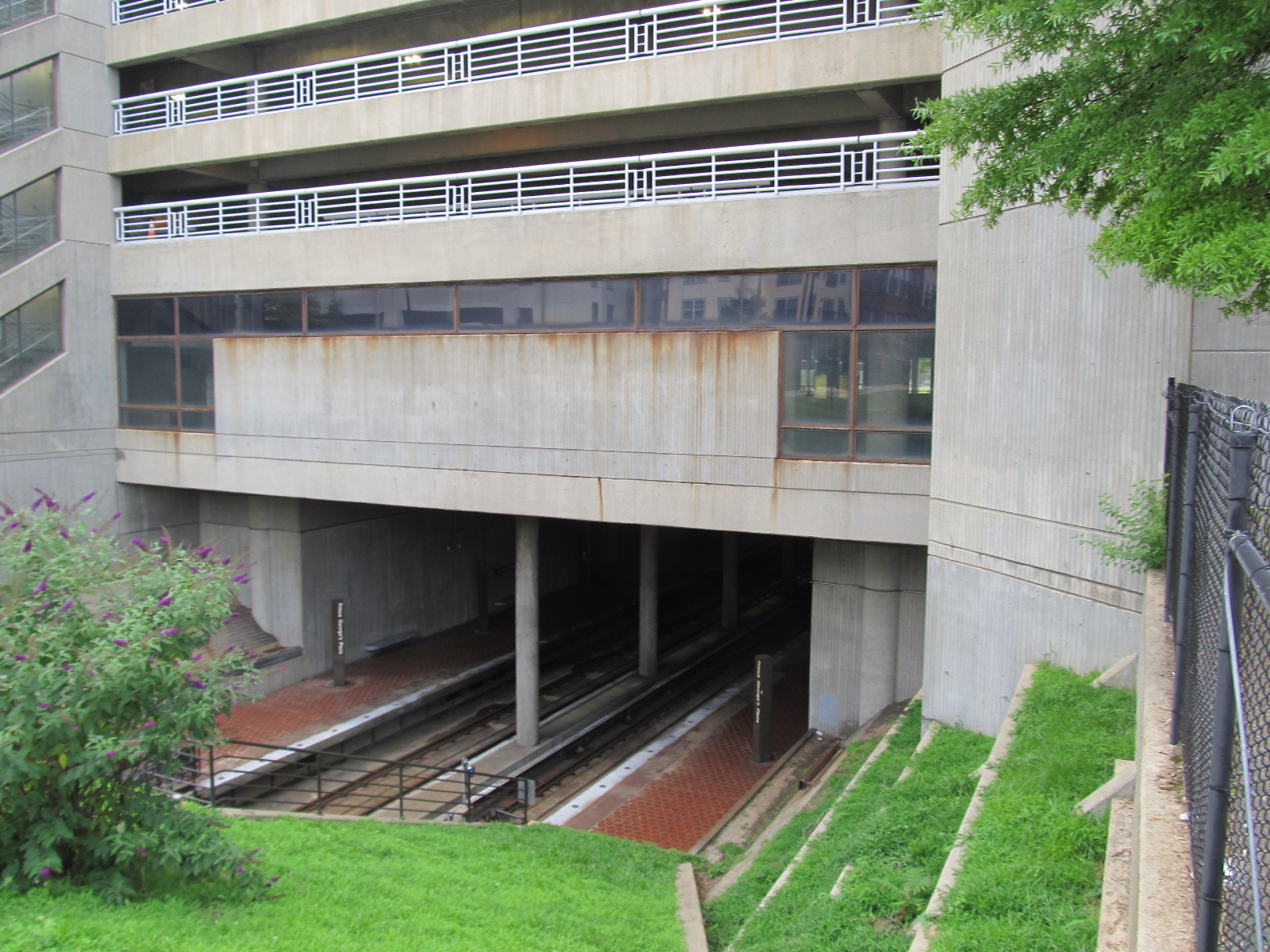 |
| The rear portion of Belcrest Center, with the Metro station garage. | The Metro station garage, directly above the open-cut station; this design is unique in the Metrorail system. |
A Note on Sources
Besides Wikipedia, my main source for this post was Chapter 12 of Retrofitting Suburbia: Urban Design Solutions for Redesigning Suburbs, by Ellen Dunham-Jones and June Williamson, published in 2009.